How the prototype works
Data was collected and transmitted from moving vehicles, which featured a variety of capabilities for a connection to the cloud – cellular, Wi-Fi, and communication with other vehicles and the infrastructure. The team created an intelligent connectivity manager that uses software and algorithms to select from available connections the option best suited to transmit data to the cloud, with each vehicle given the opportunity to assess the quality of communication channels and to transmit data.
The researchers developed a small-scale connectivity coverage map that keeps the features of the landscape, while incorporating data on fixed and mobile wireless access points, the quality of service of the available communication channels as well as traffic conditions.
Specifically, the team looked at sharing critical information regarding a road emergency with drivers in an area that has poor connectivity. In this scenario, a car entering a tunnel encounters black ice and needs to send a signal noting the slippery conditions for other vehicles. There’s no cellular reception, and Wi-Fi is not an option because there’s no hot spot, but another car leaving the tunnel in the opposite direction has both vehicle-to-vehicle and a cellular connection.
The intelligent connectivity manager selects the second car’s vehicle-to-vehicle channel to deliver information gathered from the first car to the cloud so that it can then transmit a warning to other drivers of the dangerous conditions at the tunnel entrance. If no other cars are around, the connectivity manager would postpone sending the message until the first car leaves the tunnel and a cellular network becomes available.
In nonemergency situations, the connectivity manager can check the coverage map to determine the best point for service delivery. So if a vehicle is traveling in a remote area and a software update is sent out, the update would be delivered over the air when the connection is stronger.
What’s next
In the future, as information will be collected at the same time from hundreds of vehicles, a universal connectivity map will reflect the current data at all times – acting as a database for implementing smart roads and smart city projects. This means that in any given situation, whether moving or parked, the vehicle with the most stable connection – cellular, embedded modem, Wi-Fi, vehicle-to-everything – can be a resource to facilitate a reliable connection to information services, enhancing the connected experience for the entire motoring community.
Vladimir Zaborovsky, who heads up telematics for St. Petersburg State Polytechnic University, is pleased with the findings of the project. “The developed solutions are of high reliability, scaleability and adaptability, and they open broad prospects for application – both in transportation logistics and in space robotics,” he said. “We’re looking forward to further collaborating with our colleagues from Ford.”
The project will be finalized by year-end, and the results could be integrated into Ford production programs – including vehicle-to-vehicle communication, the delivery of emergency messages and over-the-air software updates.
Applications in space
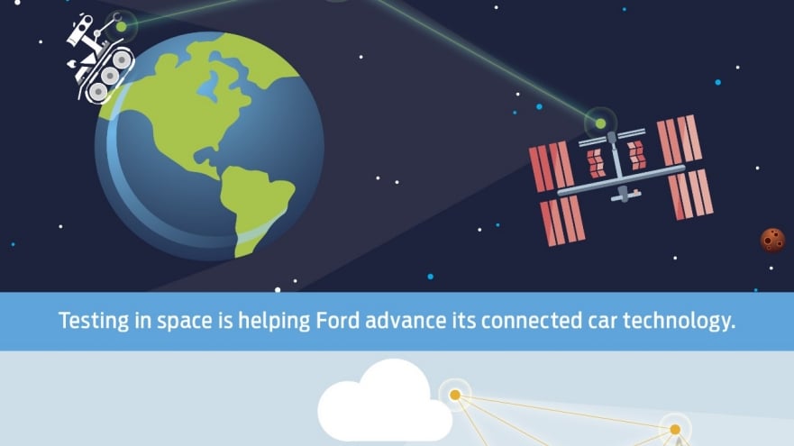
St. Petersburg State telematics researchers successfully carried out a series of experiments in space using the same multichannel connectivity fundamentals that served as the basis for the research project with Ford. Cosmonauts aboard the International Space Station used a joystick to control a robot based on Earth amidst noisy conditions, operating signal time delays and equipment failures.
Now, the team plans to advance the technology to remotely control a group of robots assembling scientific equipment and satellites.


